
At a glance
- Country: Tanzania, Kilimanjaro Region — close to the border with Kenya
- Coordinates of Uhuru Peak: about 3°04′ S, 37°21′ E — some 340 km south of the equator
- Nearest town: Moshi, at the foot of the mountain; Arusha is about 80 km to the west
- Nearest airport: Kilimanjaro International Airport (JRO), between Moshi and Arusha
- Protected as: Kilimanjaro National Park, a UNESCO World Heritage site
Where in Tanzania?
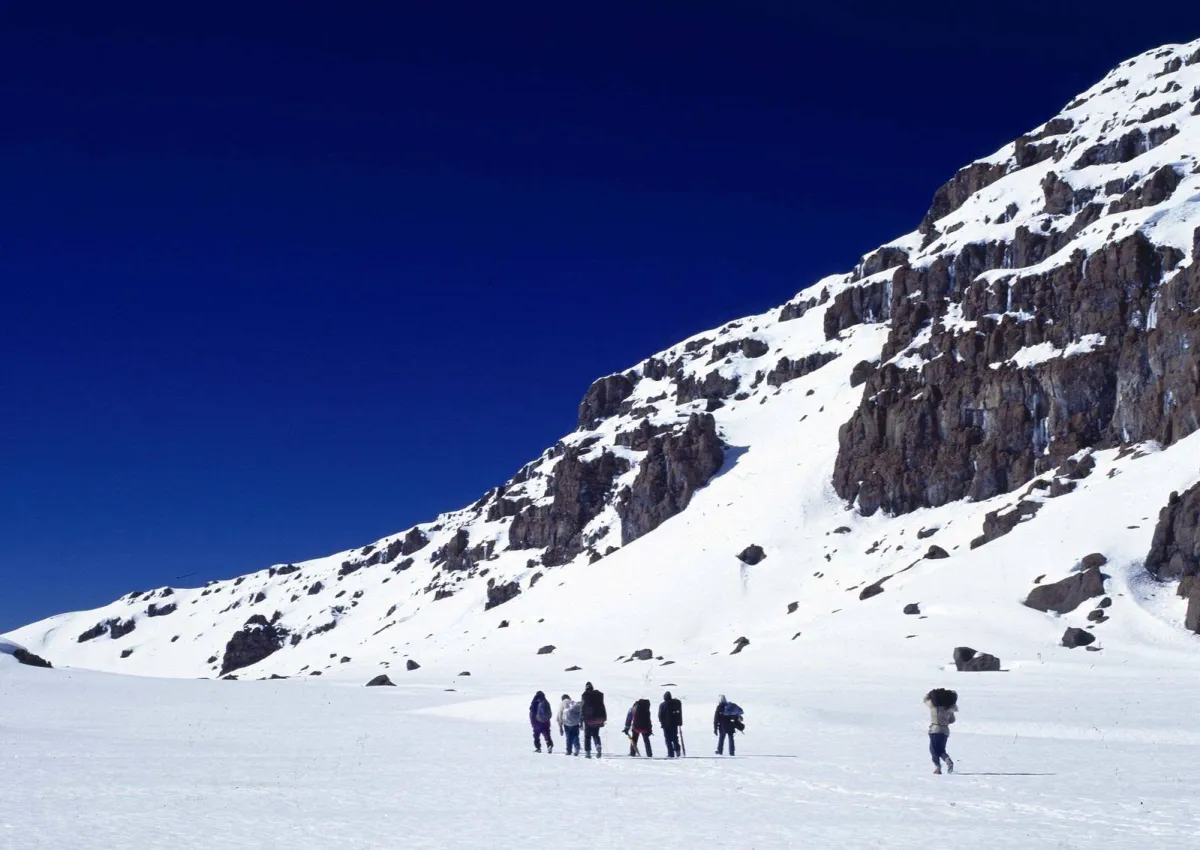
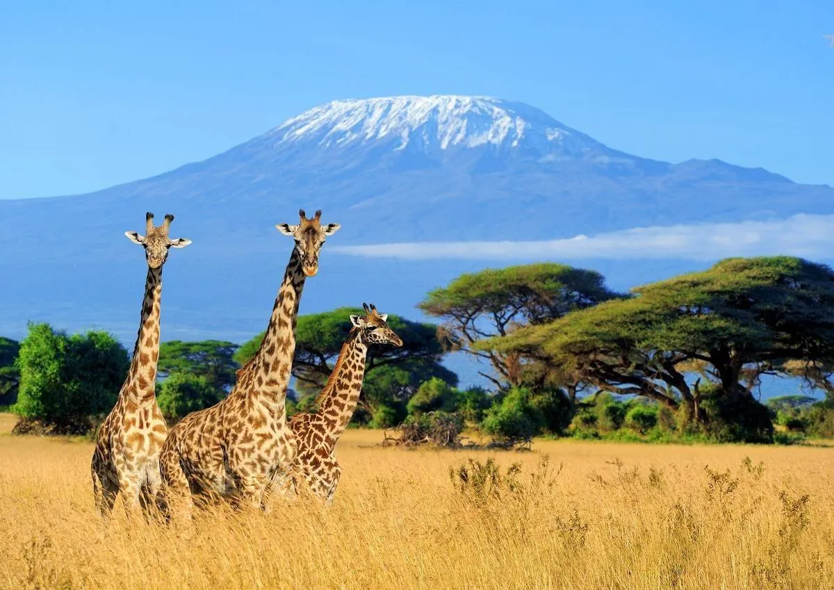
Kilimanjaro stands alone in north-eastern Tanzania, rising from the plains between the town of Moshi to the south and the Kenyan border to the north. On clear days it can be seen from Amboseli in Kenya, from Arusha and from the road to the northern safari parks. The whole mountain, from the forest belt to the summit, is protected as Kilimanjaro National Park.
How the routes are laid out
Picture the mountain as a clock face with the summit in the middle:
- South: Marangu (south-east), Machame and Umbwe (south-west) — gates closest to Moshi
- West: Lemosho and Shira, reached by a longer drive round the mountain
- North: Rongai, starting near the Kenyan border
- Descent: most southern and western routes come down the Mweka route to the south
- The southern circuit traverses below the glaciers between the Shira Plateau and Barafu Camp; the Northern Circuit loops round the quiet northern slopes
See how each route compares in Kilimanjaro routes compared.
Getting there
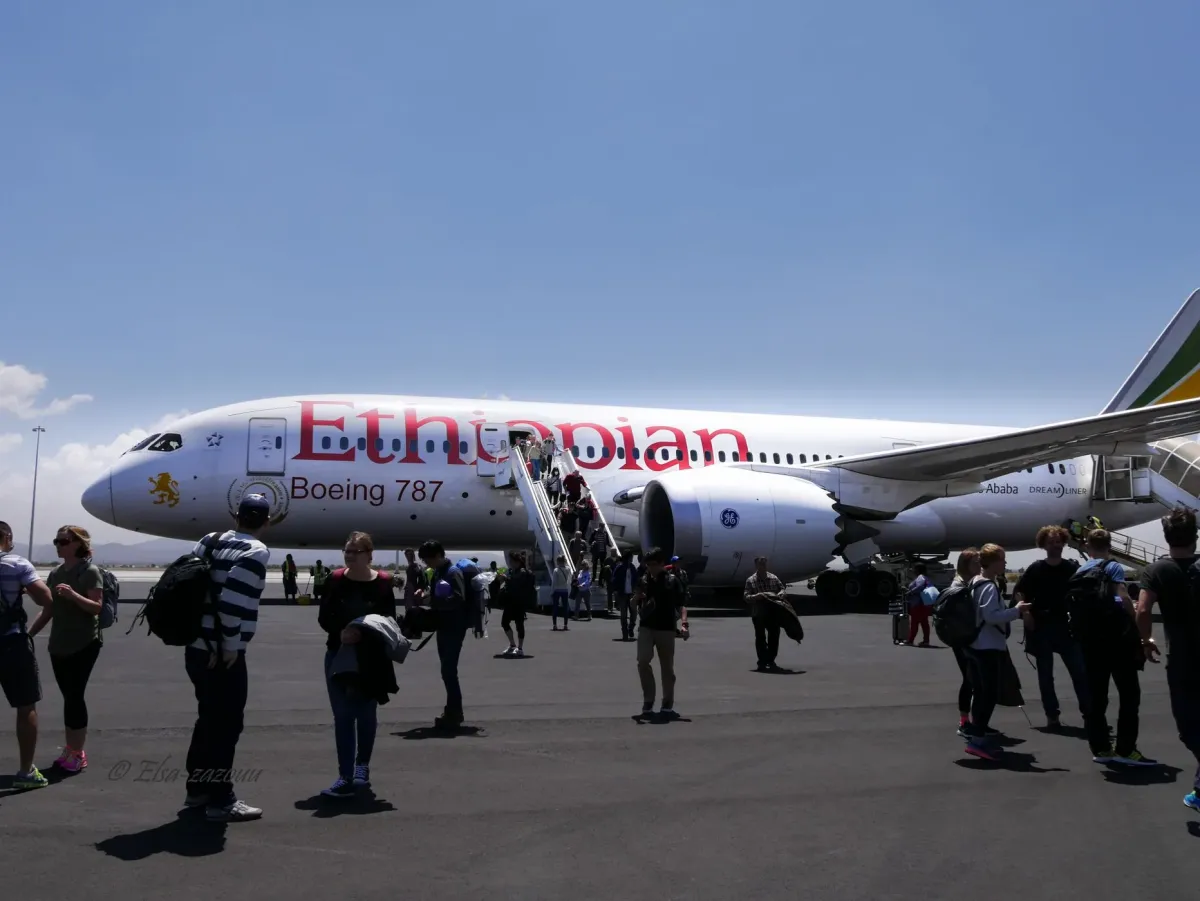
Fly into Kilimanjaro International Airport (JRO), which lies between Moshi and Arusha. Most climbers spend the night before the climb in Arusha or Moshi — on our climbs, we meet you at the airport and you spend the first night at a lodge in Arusha, where your guide briefs you and checks your gear. The drive to the starting gate takes about one to three hours, depending on the route.
Nearby
- Arusha National Park and Mount Meru — a great acclimatisation trek
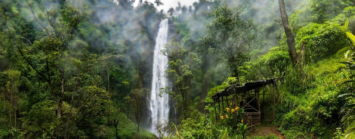
- The Materuni waterfalls and coffee farms on the lower slopes — see our day trips
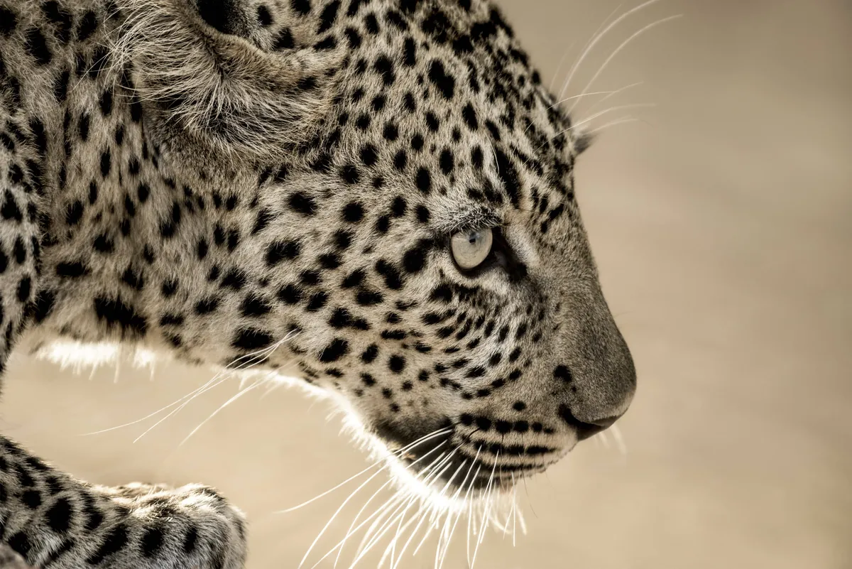
- The northern safari circuit: Tarangire, Ngorongoro and the Serengeti