
Glaciers on the equator
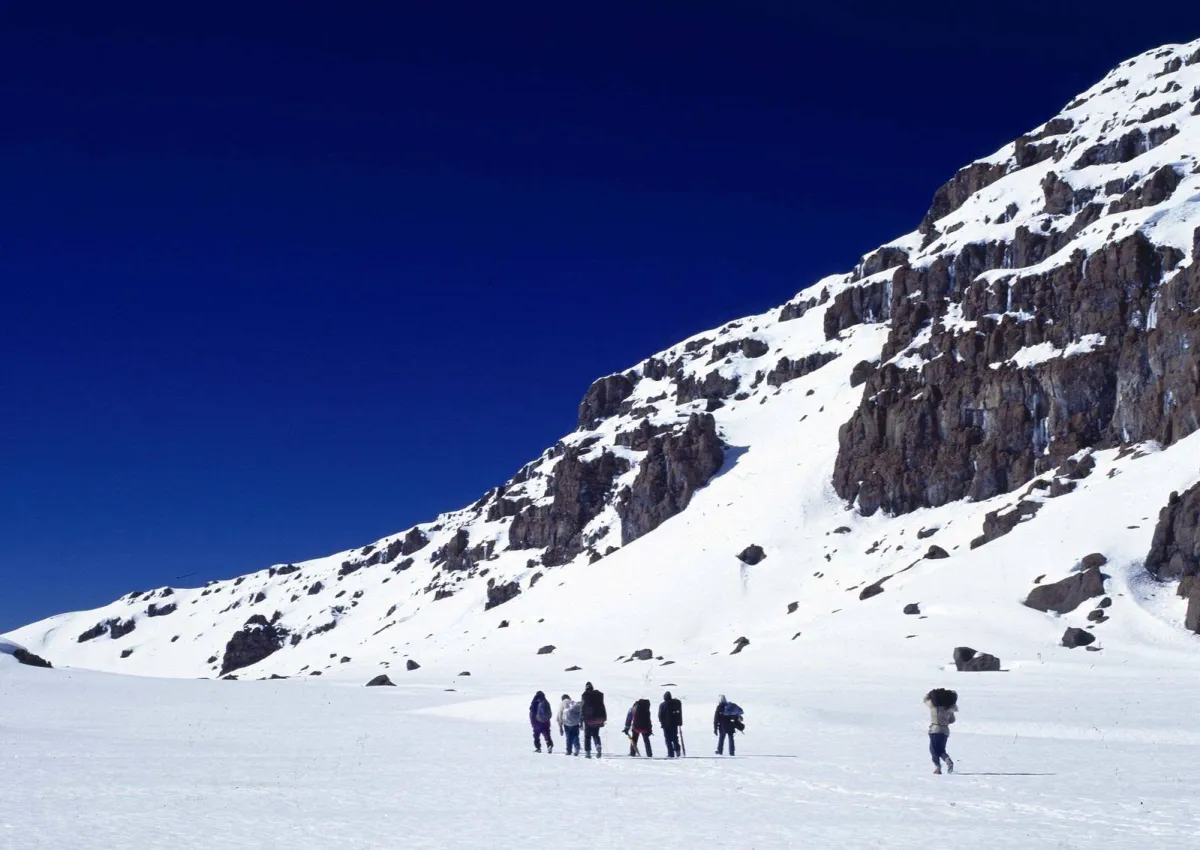
Kilimanjaro is one of the very few places in Africa with permanent ice. Its glaciers sit on and around Kibo, the summit cone, at around 5,000–5,895 metres. The ice is ancient — scientists have studied ice cores from the summit to learn about the climate of East Africa over thousands of years.
Where the ice is
- The Southern Icefields — the Rebmann, Decken, Kersten and Heim glaciers, which you see above you on the southern circuit and from the Barranco and Karanga camps
- The Northern Icefield — the largest remaining body of ice, on the northern side of the summit plateau
- The Furtwängler Glacier — in the summit crater, near the Reusch Crater
- The Credner Glacier — on the northern slopes
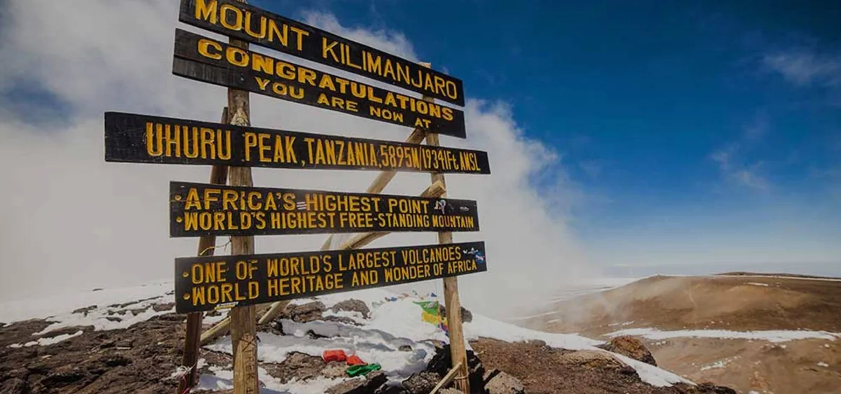
From the crater rim between Stella Point and Uhuru Peak, the ice walls stand right beside the path — one of the most memorable sights of summit morning.
How much has been lost?
When the summit was first mapped in the early 1900s, ice covered most of the summit plateau. Since then, more than 80% of the ice has disappeared. Scientists expect most or all of the remaining glaciers to be gone within the coming decades — UNESCO listed Kilimanjaro among the World Heritage sites whose glaciers are likely to disappear by 2050.
Why are they shrinking?
Kilimanjaro's glaciers do not melt the way Alpine glaciers do. At this height, most of the loss happens by sublimation — ice turning straight into water vapour in strong sun and dry air. The main causes are thought to be a drier climate in the region, reducing the snowfall that feeds the glaciers, together with wider warming. The steep ice walls also lose ice where the sun strikes them.
Seeing them on your climb
- The southern routes — Machame, Lemosho and Umbwe — pass beneath the Southern Icefields.
- Almost every climber sees glacier walls on the crater rim near Uhuru Peak.
- Keep a respectful distance: ice walls can collapse, and the crater floor is not part of standard climbs.
More about the mountain: height and Uhuru Peak and weather and temperatures.